Bananas at 1,550 meters: the drained gardens of Kuk Swamp, New Guinea
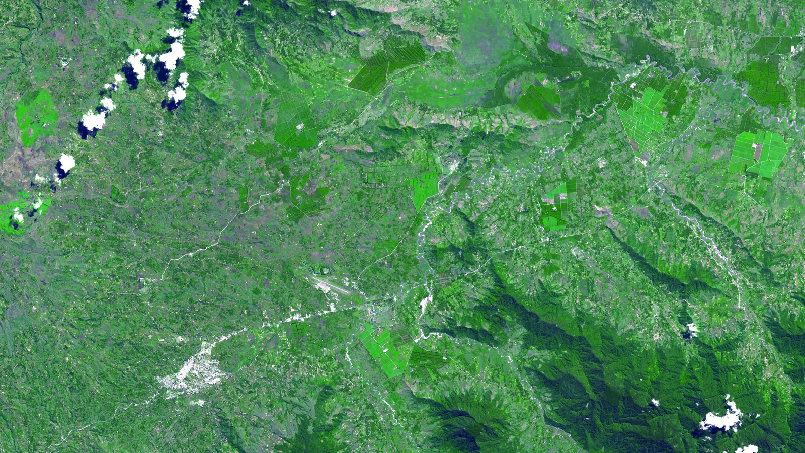

TL;DR — Kuk Swamp, 1,550 meters up in New Guinea’s highlands, had banana gardens on mounds by 6950 to 6440 years before the present and ditches by about 4000.
In July 2003 the journal Science published a paper on Kuk Swamp, a wetland about 1,550 meters up in the Wahgi Valley of highland Papua New Guinea, whose abstract stated that “agriculture arose independently in New Guinea by at least 6950 to 6440 calibrated years before the present” and that “bananas (Musa spp.) were intensively cultivated” by that time. The lead author, Tim Denham of the Australian National University, built the case on microscopic remains: phytoliths, the silica bodies that form inside plant tissue, identified by Carol Lentfer, and starch grains from stone tools identified by Judith Field. Calibrated years before the present, or cal BP, count back from AD 1950, so 6950 cal BP is 5000 BC. Jack Golson of the same university had begun digging there in 1972 and read six phases of drainage and planting in the walls of plantation drains. The swamp is the home territory of the Kawelka people, and it joined the World Heritage List in July 2008.
Quick facts
- When
- Plant use about 10,000 cal BP (Phase 1); mounded cultivation 6950 to 6440 cal BP (Phase 2); first ditch networks about 4000 cal BP (Phase 3); swamp gardening continued in later phases to about AD 1900
- Where
- Kuk Swamp, about 1,550 meters above sea level, 12 to 13 kilometers northeast of Mount Hagen in the upper Wahgi Valley, Western Highlands, Papua New Guinea
- Who
- The Kawelka, traditional owners of Kuk; Jack Golson and Philip Hughes of the Australian National University (fieldwork 1972 to 1977); Tim Denham (re-excavation 1998 and 1999); the Papua New Guinea National Museum
- Outcome
- The New Guinea highlands were shown to have developed agriculture on their own; banana phytoliths dated the mounded gardens; the site joined the World Heritage List in July 2008 and the Kawelka hold use rights over the land
A stone mortar in a plantation drain, 1965
In 1965, at the Warrawau tea plantation in the upper Wahgi Valley, a visitor from Australia saw a stone mortar that drain diggers had turned up, along with wooden digging sticks and paddle-shaped spades. His letter reached Golson, who in 1966 dug about 300 square meters there, at the Manton site, and found ditches cut into an old garden peat. In 1969 Jim Allen of the University of Papua New Guinea saw the same kind of buried features in the new drains of a larger swamp less than 7 kilometers away, some 770 acres the government had bought for a tea research station.
Golson’s main fieldwork ran from 1972 to 1977; his table of the work lists 187 excavation trenches, more than 15 kilometers of recorded drain wall and 78 radiocarbon dates. By 1977 he was publishing six episodes of swamp drainage and cultivation going back some 9,000 radiocarbon years, dates that, he wrote in 2017, put Kuk on a par with the Fertile Crescent when the accepted view had New Guinea receiving its agriculture from Southeast Asian colonists.
Six phases in the drain walls
Phase 1, about 10,000 cal BP, is an old ground surface without clear shape, with pits, runnels, stakeholes and postholes beside a channel the excavators call Kundil’s Baret. Golson and Philip Hughes hold that this channel was dug by people; Denham is not convinced. The three published their readings together in 2004 in the Proceedings of the Prehistoric Society: all agree that plant use began about 10,000 cal BP, but Golson and Hughes date agriculture from then, and Denham only from 6950 to 6440 cal BP. The edible plants present in Phase 1 were taro, a yam and a Musa banana.
Phase 2 is mounded cultivation. Its earlier subphase falls between 6950 and 6440 cal BP, and Denham considers it the earliest unequivocal evidence of agriculture in the New Guinea highlands; a later subphase dates between 3980 and 3630 cal BP. Phase 3 brought the first networks of straight ditches, on the southern margin of the swamp, fed into large channels that carried water off the catchment; Golson’s chapter puts the earliest of these ditches at about 4400 to 4000 years ago. Three later phases followed.
Phytoliths, starch and the return in 1998
Denham came back to Kuk in 1998 and 1999 for his doctoral research, with the support of the Papua New Guinea National Museum, whose staff, among them Herman Mandui and Nick Araho, joined the excavations; John Muke of the University of Papua New Guinea worked with the community. The new work added 19 trenches and 36 radiocarbon dates and new methods: diatoms, insect remains and residues scraped from stone tools. From these came a firmer picture of forest clearance in the early Holocene and of Eumusa bananas present, and possibly planted, from the end of Phase 1.
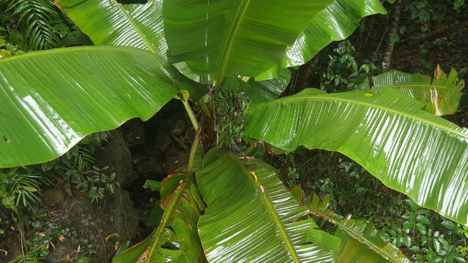
The 2004 Antiquity paper by Denham, Simon Haberle and Lentfer drew the conclusion out. It states that the first farming in New Guinea “was not owed to SouthEast Asia, but emerged independently in the Highlands,” and that plants such as the banana “were probably first domesticated in New Guinea and later diffused into the Asian continent.”

Six regions, in Bellwood's count
Peter Bellwood, also of the Australian National University, wrote in the same 2017 volume that the record shows, “to the satisfaction of most archaeologists,” that agriculture “emerged directly from a hunter-gatherer background, without external diffusion, in at least six regions of the world.” His list runs the Fertile Crescent (11,000 BP), the Yangzi and Yellow River basins of China (9000 BP), the New Guinea highlands (10,000 to 6500 BP), Mesoamerica (8000 BP), northern South America and the central Andes (8000 BP), and the Eastern Woodlands of the United States (4000 BP). In his view the change came after the climate swings at the end of the last ice age, in highland regions where taro, banana and sugarcane were moving upward toward the limits of their range. Some colleagues, he wrote, do not agree: L. Groube in 1989, and Denham and Barton in 2006, described a much longer process of plant management, running from the first settlement of the island more than 40,000 years before the present.
The Kawelka, the station and the list
Kuk was empty when the first European party reached the Wahgi Basin in 1933: the Kawelka, defeated by stronger neighbors possibly around AD 1920, had taken refuge with relatives in the hills to the north, and began moving back around 1960. The government closed the research station at the end of 1990 and, in Golson’s words, effectively abandoned it; from late 1995 the traditional owners moved back over its boundaries, built houses and made gardens. In 1997 the director of the National Museum proposed Kuk for World Heritage listing at a meeting in Suva, Fiji; a complete nomination went to UNESCO in January 2007. Its proposed management plan, Golson wrote, formalizes an existing arrangement: the Kawelka recognize the government’s legal title to the land, and the government recognizes the Kawelka as traditional owners and grants them use rights over it. The site was accepted onto the World Heritage List at the World Heritage Committee’s 32nd session, in Quebec in July 2008.
A 2011 study in PNAS by Xavier Perrier and colleagues found that New Guinea is the native area of Musa acuminata subsp. banksii, that banana phytoliths at Kuk dated to 6950 to 6440 cal BP match that subspecies, and that cultivars derived from it contributed to the plantains of West Africa and the Pacific. A 2022 review in Genetic Resources and Crop Evolution states that Saccharum officinarum, the noble sugarcane, exists only under cultivation in New Guinea and Indonesia, and that its wild relative Saccharum robustum grows on the riverbanks of New Guinea.
Key facts
- Kuk Swamp lies at about 1,550 meters, 12 to 13 kilometers northeast of Mount Hagen in the upper Wahgi Valley of Papua New Guinea (Golson, 2017).
- Jack Golson’s team excavated at Kuk from 1972 to 1977: 187 trenches, more than 15 kilometers of drain wall recorded, 78 radiocarbon dates.
- Tim Denham re-excavated Phases 1 to 3 in 1998 and 1999 with the Papua New Guinea National Museum, adding 19 trenches and 36 dates.
- Phase 1, about 10,000 cal BP: plant use and possible cultivation; Golson and Hughes read the channel as artificial, Denham does not.
- Phase 2, 6950 to 6440 cal BP: mounded cultivation, which Denham calls the earliest unequivocal evidence of agriculture in the New Guinea highlands.
- Phase 3, from about 4400 to 4000 years ago: the first networks of straight ditches on the southern margin of the swamp (Golson, 2017).
- The Science abstract of 2003 states that bananas were intensively cultivated at Kuk by at least 6950 to 6440 cal BP; Perrier et al. (2011) match the phytoliths to Musa acuminata subsp. banksii.
- The Kuk Early Agricultural Site was accepted onto the World Heritage List in Quebec in July 2008; the Kawelka are its traditional owners.
FAQ
When did farming begin at Kuk Swamp?
The 2003 Science paper gives mounded cultivation by 6950 to 6440 cal BP, about 5000 BC, as the earliest unequivocal evidence, with plant use and some cultivation on the wetland margin from about 10,000 cal BP. Jack Golson and Philip Hughes date the start of agriculture to that earlier phase; Tim Denham does not.
What crops were grown at Kuk?
Taro, a yam and a Musa banana were present in Phase 1; bananas were intensively cultivated by Phase 2, and taro was used in the early Holocene. Sweet potato, a plant from the Americas, became the staple only in the last phase, after about AD 1700.
Who owns Kuk Swamp?
The Kawelka people are the traditional owners. Under the arrangement Golson described in 2017, they recognize the government's legal title to the former research station land, and the government recognizes them as traditional owners with use rights over it.
Sources
- ANU Press — Jack Golson, "An Introduction to the Investigations at Kuk Swamp," chapter 1 of Ten Thousand Years of Cultivation at Kuk Swamp in the Highlands of Papua New Guinea (Terra Australis 46), 2017 (PDF).
- ANU Press — Peter Bellwood, "Early Agriculture in World Perspective," chapter 2 of Ten Thousand Years of Cultivation at Kuk Swamp in the Highlands of Papua New Guinea (Terra Australis 46), 2017 (PDF).
- Science 301 (2003) — Denham, Haberle, Lentfer, Fullagar, Field, Therin, Porch and Winsborough, "Origins of agriculture at Kuk Swamp in the highlands of New Guinea," DOI 10.1126/science.1085255 (abstract, PubMed).
- Proceedings of the Prehistoric Society 70 (2004) — Denham, Golson and Hughes, "Reading Early Agriculture at Kuk Swamp, Wahgi Valley, Papua New Guinea: the Archaeological Features (Phases 1–3)," DOI 10.1017/S0079497X00001195 (abstract).
- Antiquity 78 (2004) — Denham, Haberle and Lentfer, "New evidence and revised interpretations of early agriculture in Highland New Guinea," DOI 10.1017/S0003598X00113481 (abstract).
- PNAS 108 (2011) — Perrier et al., "Multidisciplinary perspectives on banana (Musa spp.) domestication," DOI 10.1073/pnas.1102001108 (PubMed Central full text).
- Genetic Resources and Crop Evolution 69 (2022) — Dinesh Babu et al., "A short review on sugarcane: its domestication, molecular manipulations and future perspectives," DOI 10.1007/s10722-022-01430-6 (PubMed Central full text).
Cite this article
- APA
- Our Earth's History. (2026, September 22). Bananas at 1,550 meters: the drained gardens of Kuk Swamp, New Guinea. Our Earth's History. https://ourearthshistory.com/oceania/ancient/kuk-swamp-new-guinea-bananas-drained-gardens/
- Chicago
- Our Earth's History. “Bananas at 1,550 meters: the drained gardens of Kuk Swamp, New Guinea.” Our Earth's History, September 22, 2026. https://ourearthshistory.com/oceania/ancient/kuk-swamp-new-guinea-bananas-drained-gardens/.
- MLA
- “Bananas at 1,550 meters: the drained gardens of Kuk Swamp, New Guinea.” Our Earth's History, 22 Sep. 2026, https://ourearthshistory.com/oceania/ancient/kuk-swamp-new-guinea-bananas-drained-gardens/.
Text licensed CC BY-NC-ND 4.0. Found an error? Tell us.